

Before launching a drone in India, check the official airspace map for the exact place and altitude where you intend to fly. A location that appears open on a general map may fall inside a restricted zone, and airspace restrictions can change. The DigitalSky map maintained by the Airports Authority of India (AAI) displays drone airspace classifications and should be checked before every flight.
This guide explains how to use the map, understand its colour-coded zones, identify airport restrictions and decide what to do before taking off. It is a practical planning guide, not a substitute for an approval or the applicable rules.
What is the Drone Airspace Map in India?
India’s drone airspace map is an interactive online map that identifies areas where unmanned aircraft system (UAS) operations are permitted, restricted or prohibited. It is available through the official DigitalSky Airspace Map.
The map displays zone layers, including airport red zones, airport yellow zones at different distance bands, red zones and temporary red zones. The map is dynamic, so a result checked weeks or months earlier should not be treated as a current clearance.
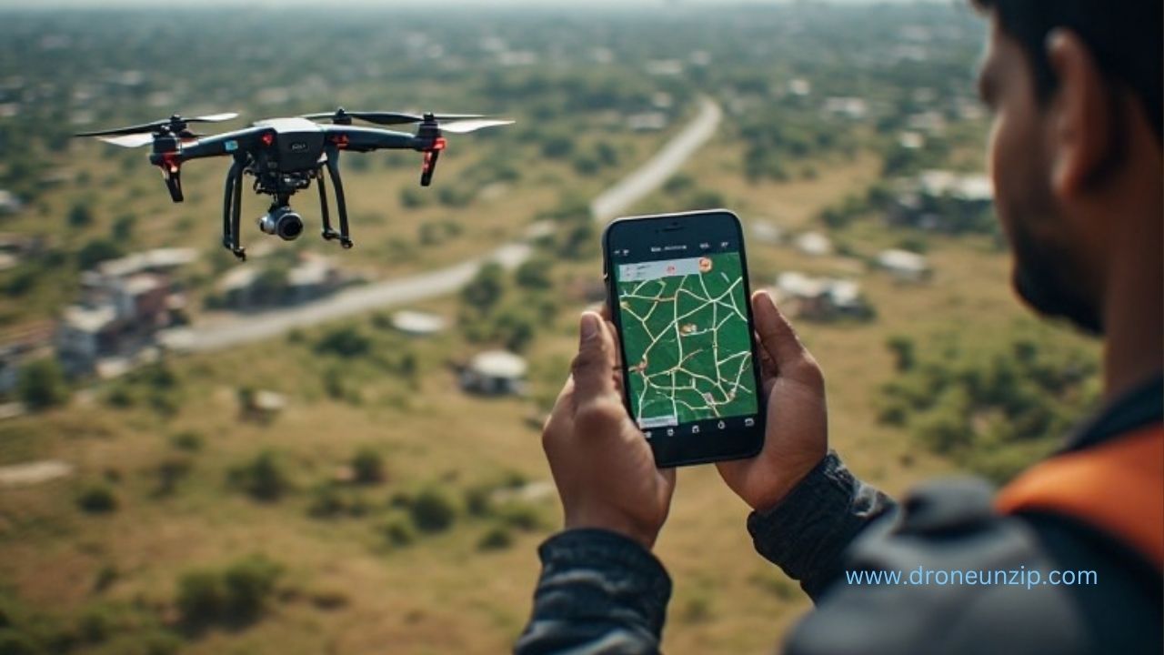
How to check the drone airspace map step by step

-
Open the official DigitalSky map
Visit digitalsky.aai.aero/digital-sky-map. Use the official map rather than relying only on a third-party drone app, an old screenshot or a social-media post. The map is publicly accessible and its displayed layers help identify airspace restrictions.
-
Find the exact location
Locate the intended take-off and operating area. Use the map’s available location or coordinate tools, or zoom and pan to the site. If you have latitude and longitude, use the map’s coordinate facility where available. Check the actual flight area, not just the launch point: the drone may travel beyond the immediate take-off location.
-
Turn on the relevant zone layers
Review the zone layers shown by the map. These include airport red, airport yellow distance bands, red zone and temporary red zone. Turn on the relevant layers and inspect the area closely. If a layer is hidden, the absence of its colour on the screen does not mean the airspace is unrestricted.
-
Check the zone at your planned altitude
Airspace classification can depend on altitude as well as location. Under the Drone Rules, 2021, the green-zone framework generally includes airspace up to 120 metres (400 feet) above ground level, where it has not been designated as a red or yellow zone. A separate limit applies in the airport belt between 8 km and 12 km from an operational airport: the green-zone allowance there is up to 60 metres (200 feet), subject to the applicable designation.
-
Identify whether permission is required
Airspace above the relevant green-zone height may be yellow. Do not assume that a green area on the map permits flight at any altitude. Compare the proposed height with the current map and applicable rules.
a) Green zone: Drone operations may be conducted without prior permission within the applicable limits, provided all other legal and safety requirements are met.
b) Yellow zone: Prior permission from the concerned air traffic control authority is required. The relevant authority may depend on the airspace and location.
c) Red zone: Drone operations are not permitted unless permission is obtained from the Central Government.If the map shows a temporary red zone, treat it as a restriction and do not fly there unless the required permission expressly allows the operation.
-
Check again before the flight
Reopen the map close to the planned flight time and verify the location and altitude again. Temporary restrictions and zone boundaries may change. Save the coordinates and note the zone information for your flight planning, but do not treat a saved screenshot as proof of current permission.
Understanding green, yellow and red zones
| Zone | What it means | What to do |
|---|---|---|
| Green | Operations permitted without prior airspace permission within defined limits. | Confirm altitude and meet all other applicable requirements. |
| Yellow | Restricted airspace requiring approval from the concerned ATC authority. | Obtain the required permission before operating. |
| Red | Highly restricted airspace. | Do not fly unless Central Government permission has been obtained. |
| Temporary red | Time-bound or temporary restriction displayed on the map. | Follow the restriction and verify its validity for the planned time. |
How airport distance affects drone airspace
Airport-related restrictions are not determined simply by whether an airport is visible nearby. The distance from the airport perimeter and the planned altitude both matter. The DigitalSky map provides airport-related layers, including red and yellow distance bands. Inspect the exact area and applicable height rather than relying on a rough distance estimate from a consumer map.
Do not interpret a distance band as automatic permission to fly. Where the airspace is yellow, obtain the required ATC permission. Where it is red, the applicable Central Government permission requirement remains.
What to do if your location is in a yellow zone
Do not launch while assuming that a request or an application is equivalent to approval. Use the flight-planning or approval facility available through DigitalSky, provide the requested details and wait for the concerned authority’s decision. The current DigitalSky service describes a process of creating a flight plan, submitting the request, receiving approval and then flying in accordance with that approval.
Follow any conditions attached to the approval, including location, altitude, date, time or operating limits. If approval is not granted, do not conduct the flight in the restricted airspace.
Common mistakes to avoid
- Checking only once: The airspace map is dynamic. Check before every flight.
- Checking only the take-off point: Review the whole intended operating area and route.
- Ignoring altitude: A location may have different restrictions at different heights.
- Confusing green with unrestricted: Green-zone status does not waive other applicable drone, safety, privacy or local requirements.
- Flying while approval is pending: A submitted request is not an approval.
- Relying on old screenshots or third-party maps: Verify the current official map and notices.
Pre-flight airspace checklist
- Confirm the exact take-off location and intended operating area.
- Check the official DigitalSky airspace map shortly before flight.
- Review airport red and yellow layers, red zones and temporary red zones.
- Confirm the proposed altitude is within the applicable zone limits.
- Obtain required permission before entering restricted airspace.
- Check relevant local instructions and any time-specific restrictions.
- Keep a record of the flight plan and any approval, and follow its conditions.
FAQs
-
Is the DigitalSky airspace map free to access?
The official DigitalSky platform makes the airspace map publicly accessible. You can inspect the map without treating access to it as an operational approval.
-
Can I fly anywhere shown as green?
No. Green-zone status concerns prior airspace permission within defined limits. You must still comply with applicable drone requirements, altitude limits, safety obligations and other local restrictions.
-
Do I need permission to fly in a yellow zone?
Yes. The DigitalSky guidance identifies yellow zones as restricted airspace requiring permission from the concerned air traffic control authority. Obtain approval before flying.
-
Can I fly in a red zone if I have a drone registration?
Registration does not grant access to restricted airspace. Red-zone operations require permission from the Central Government.
-
How often should I check the map?
Check it before every flight. The official map specifically states that it is dynamic and that zone restrictions should be checked before each drone flight.
Official references
- DigitalSky Airspace Map, Airports Authority of India
- DigitalSky official portal: airspace zones and flight planning
- Ministry of Civil Aviation / PIB: India’s airspace map for drone operations
Editorial note: Airspace information and approval procedures can change. Verify the current official map and applicable requirements before operating.