

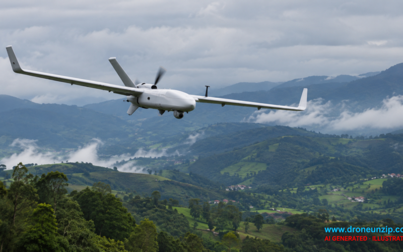
Anna University’s Centre for Aerospace Research (CASR) has reported completing a beyond-visual-line-of-sight (BVLOS) drone trial in the Nilgiris, with the aircraft covering 175 km during high-altitude testing near Doddabetta. The university team said the flight took place at an elevation of approximately 2,500 metres and at a reported speed of 65 km/h.
The demonstration tested the aircraft’s stability, propulsion, communications and safety functions in mountainous conditions. CASR director K Senthil Kumar said the data would inform the next phase of endurance, payload and safety testing, according to The Times of India.
Key Takeaways
- Anna University researchers reported a 175 km BVLOS drone flight in the Nilgiris at an elevation of about 2,500 metres.
- The aircraft’s reported speed was 65 km/h, with a 300-metre loiter radius.
- The trial assessed high-altitude performance, command links and emergency procedures.
- Further trials and medical-payload integration are planned; no routine delivery service has been announced.
Who Conducted the Nilgiris Drone Trial?
The trial was carried out by the Centre for Aerospace Research at Anna University, Chennai, under a BVLOS initiative supported by the Tamil Nadu Innovation Initiative (TANII) in association with the Tamil Nadu Industrial Development Corporation (TIDCO). The research team acknowledged support from the Nilgiris district administration.
What Did the BVLOS Flight Demonstrate?
Researchers reported that the aircraft covered 175 km while operating beyond the remote pilot’s unaided visual range. The reported 65 km/h speed and 300-metre loiter radius describe the trial, but the reporting does not establish the drone’s maximum range, commercial payload capacity or routine operating endurance.
According to the researchers, the team examined the effects of lower air density on propeller thrust, motor efficiency, endurance and payload capacity. Variable winds, fog, humidity and cool temperatures also provided conditions for assessing batteries, thermal management and onboard sensors.
The team reported testing geofencing, return-to-home and lost-link procedures. These safeguards are especially important for operations in which a remote pilot cannot continuously see the aircraft.
When and Where Was the Test Conducted?
The trial was reported on October 26, 2026, near Doddabetta in Tamil Nadu’s Nilgiris district. The precise flight date was not specified in the reporting reviewed for this article. Doddabetta rises to approximately 2,637 metres above sea level; the drone trial was described as operating at around 2,500 metres elevation.
Researchers said the test took place in a designated green zone under DGCA guidelines. That statement should not be interpreted as a blanket authorization for commercial BVLOS flights: India’s regulator has separately cautioned that such operations require specific authorization.
Why Does the High-Altitude Trial Matter?
Mountainous terrain combines difficult flight conditions with communications challenges. A successful research trial in this environment can help developers identify how propulsion, command links and fail-safe systems behave before attempting more demanding operations.
The team identified emergency delivery of blood and medicines to remote hill settlements as a possible future application. It also pointed to power-line and pipeline inspection, wildlife monitoring, disaster response and mapping. These remain potential uses, not services demonstrated as operational during this trial.
Long-range positioning is another technical consideration for drone operators. DroneUnzip has previously explained the differences between RTK, PPK and conventional GPS positioning in drones, although the university has not publicly specified that any particular positioning technique was used in this flight.
What Happens Next?
CASR and its partners plan additional high-altitude and long-distance flights, followed by work on integrating medical payload delivery. The next meaningful milestone will be evidence of payload-carrying performance and a clearly authorized operational route.
For now, the 175 km figure is a reported research-flight result. It does not establish that the university has launched a commercial or emergency medical-delivery service.
