
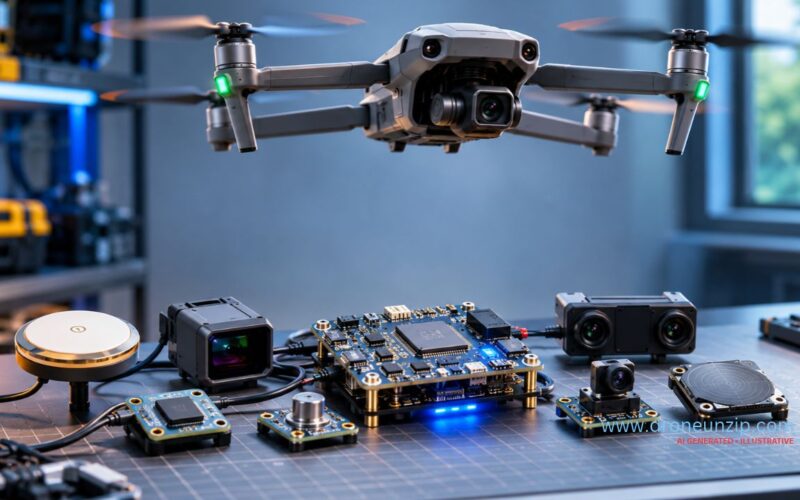
A drone can hover steadily, maintain its direction, estimate its altitude and navigate towards a destination. But how does it know where it is, whether it is tilting or if something is blocking its path?
Drone sensors measure motion, orientation, position, altitude and surrounding conditions. The flight controller processes these measurements to stabilise the aircraft, navigate and, on suitably equipped models, detect obstacles. No single sensor does everything. This guide compares sensor types, explains how they work together and shows what to do when readings become unreliable.
What Are Drone Sensors and Why Are They Important?
Drone sensors are devices that measure physical quantities such as angular velocity, acceleration, atmospheric pressure, position and distance to nearby objects. The flight controller combines these measurements to estimate how the aircraft is moving and adjust motor output. No single sensor does everything: a GPS receiver cannot directly measure tilt, while a gyroscope cannot establish global location.
Think of three roles: motion and orientation, position and altitude, and environmental perception. Advanced aircraft also carry payload sensors for inspection, mapping or agriculture.
Drone Sensor Types at a Glance
| Sensor | Measures | Purpose | Key limitation |
|---|---|---|---|
| Gyroscope | Angular velocity | Rotation and attitude estimation | Integrated estimates drift |
| Accelerometer | Specific force | Motion and attitude estimation | Movement complicates tilt estimates |
| Magnetometer | Magnetic field | Heading estimation | Magnetic interference |
| GNSS receiver | Satellite signals | Global position and velocity | Obstruction and interference |
| Barometer | Air pressure | Relative altitude | Pressure-related drift |
| Optical-flow camera | Movement of image features | Local motion estimation | Lighting and surface texture |
| Rangefinder | Distance to a surface | Height above ground | Range and surface limits |
| Stereo/depth camera | Scene features and depth | Obstacle sensing and positioning | Lighting and geometry |
| LiDAR | Laser-based distance | Mapping and obstacle perception | Range and reflectivity |
| Radar | Radio-based object returns | Obstacle or terrain sensing | System-specific resolution |
Not every aircraft carries all these devices. IMUs and barometers are often integrated into the flight controller, while GNSS modules, cameras and rangefinders may be separate.
How Do Drones Know Where They Are? GPS and GNSS
GNSS is the umbrella term for satellite-navigation systems such as GPS, Galileo, GLONASS, BeiDou and India’s NavIC. Compatible receivers estimate global position and can provide velocity and timing data. This information can support position hold, waypoint navigation, return-to-home and georeferenced imaging, provided the aircraft software and other sensors support those functions.
What happens when GNSS becomes unreliable?
Signals can be blocked or reflected near buildings, under vegetation or indoors, and can be affected by interference. Depending on its design, the drone may rely on local vision positioning, change modes, warn the pilot or trigger a failsafe. GPS loss does not automatically mean a crash, but reliable position hold must not be assumed. See GPS vs Non-GPS Drones.
What about RTK?
Real-Time Kinematic positioning uses correction information to improve accuracy in suitable conditions. It is useful for surveying but does not replace the IMU or guarantee precision in every environment. See RTK vs PPK vs GPS in Drones.
How Do Drones Know Their Orientation? IMU, Gyroscope and Accelerometer
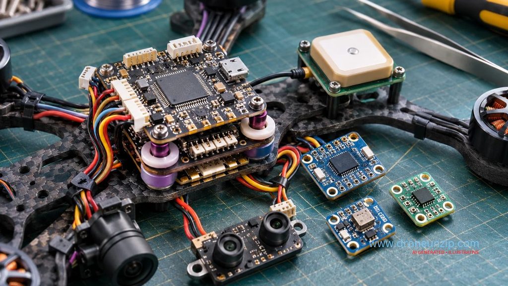
An inertial measurement unit (IMU) generally contains gyroscopes and accelerometers. A gyroscope measures angular velocity about the roll, pitch and yaw axes. An accelerometer measures specific force, including gravity-related effects. When the aircraft is relatively still, accelerometer readings help constrain tilt; during manoeuvres, they also reflect acceleration.
The flight controller combines measurements to estimate attitude. Gyro integration alone drifts over time, while accelerometers cannot always distinguish tilt from acceleration. Together they are more useful than either alone. An IMU supports stabilisation without GNSS, but it cannot independently maintain indefinitely accurate global position.
What Does a Drone Compass Do?
An electronic compass generally uses a magnetometer to measure magnetic fields and help estimate heading. Unlike a gyroscope, which senses rotational rate, a magnetometer provides directional information that can be distorted by nearby steel, magnets, current-carrying cables and electrical equipment.
Do not calibrate beside vehicles or large metal structures. Follow the manufacturer’s calibration instructions; repeatedly recalibrating is not a universal fix for compass errors. Some advanced aircraft can estimate heading using other systems, but availability is model-specific.
How Do Drones Measure Altitude? Barometers and Rangefinders
Barometer
A barometer measures atmospheric pressure. Flight controllers can use it to estimate relative altitude, but weather and airflow can introduce drift. It does not directly measure distance to the ground.
Rangefinder
A downward-facing laser, ultrasonic or infrared rangefinder can measure distance to a surface within its operating limits. Such measurements can assist low-altitude positioning or terrain-relative functions, but may fail outside rated range or over unsuitable surfaces.
Altitude versus height above ground
Over a rising hillside, a drone may hold a constant altitude reference while its clearance above the terrain decreases. This distinction matters for terrain following and obstacle clearance.
How Do Drones Detect Obstacles?
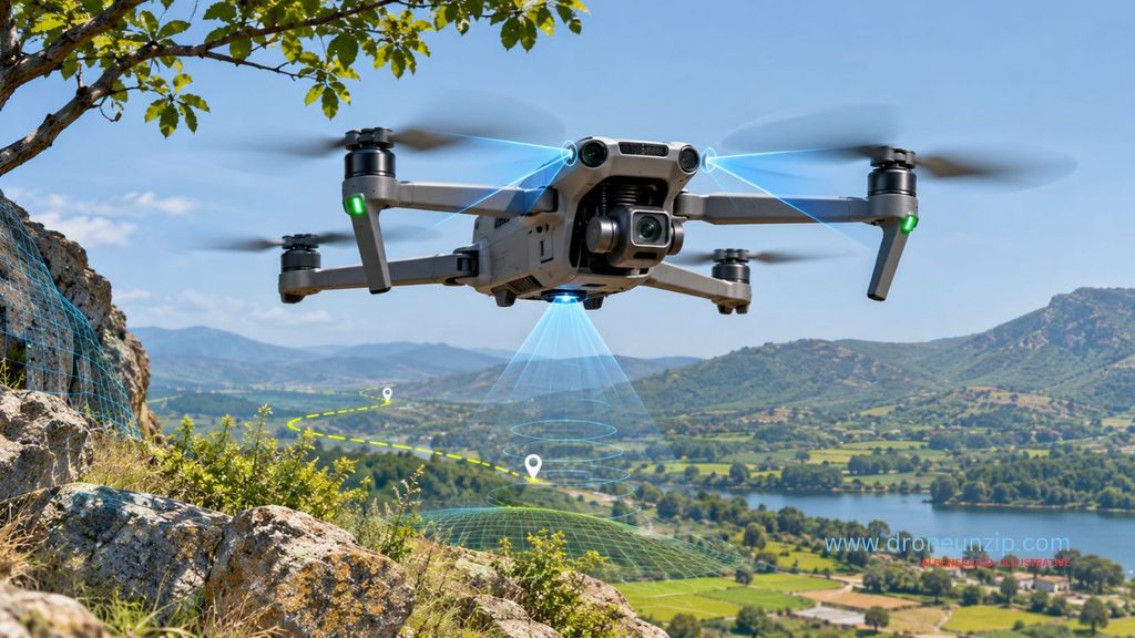
Obstacle sensing is not the same as obstacle avoidance. A sensor may detect an object, but software and flight-control behaviour determine whether the aircraft warns, brakes or reroutes.
Stereo vision and depth cameras
Visual systems estimate scene depth or track image features. Low light, low-texture surfaces, reflective objects and complex geometry can limit performance.
Infrared and ultrasonic sensing
These technologies can provide short-range distance measurements, with capabilities dependent on design, target surface and conditions.
LiDAR and radar
LiDAR measures distance using reflected laser light and can support mapping and perception. Radar uses radio waves and may work in some conditions that challenge optical cameras, although its resolution and target-detection limits vary by system.
Thin wires, branches, fog, glare, moving objects, blind spots and sensor obstruction can defeat particular avoidance systems. DJI’s obstacle-sensing guidance describes operating restrictions. Never assume collision-free flight.
How Do Drones Navigate Without GPS?
Optical flow
Optical flow measures apparent movement of visual features across camera frames. Combined with distance and inertial measurements, it can help estimate local movement over a textured, well-lit surface. Poor lighting, featureless floors and unsupported height can degrade tracking. ArduPilot documents optical-flow setup and testing.
Visual-inertial odometry
Visual-inertial odometry combines camera features and IMU measurements to estimate motion without relying entirely on satellite signals. It can still drift or lose tracking in difficult visual environments. A drone being able to fly without GPS does not imply it can hover reliably indoors.
What Is Sensor Fusion in Drones?
Sensor fusion combines measurements to estimate position, velocity, orientation and other aircraft states. Each sensor has weaknesses: gyro drift, compass interference, GNSS errors, pressure drift and vision-tracking failures. Combining them helps constrain errors, but does not eliminate failure.
What is an Extended Kalman Filter?
An Extended Kalman Filter (EKF) predicts the aircraft’s state and updates the estimate using incoming measurements. ArduPilot’s EKF overview describes combining inertial, compass, GNSS and pressure measurements, with optional inputs such as optical flow.
Example: GPS suddenly reports a position jump
If a GNSS reading disagrees sharply with inertial predictions, an estimator may flag or reject the inconsistent measurement depending on its configuration. It may also report degraded navigation quality or activate a configured failsafe. This does not guarantee the drone will keep hovering safely. See ArduPilot’s EKF failsafe guidance.
Drone Sensor Problems: Symptoms, Possible Causes and Safe Responses
The following matrix is a starting point, not a diagnosis. One symptom can have several causes.
| Symptom | Possible causes | Safer response |
|---|---|---|
| Compass warning | Magnetic interference or calibration problem | Move away from interference; follow manual |
| Weak GNSS | Obstruction or interference | Wait for suitable conditions; do not assume position hold |
| Horizontal drift | Wind or degraded positioning | Maintain control; land safely if uncertain |
| Altitude drift | Pressure or reference changes | Check conditions and manual |
| Vision unavailable | Low light or unsuitable surface | Avoid reliance on vision position hold |
| Obstacle warning | Obstructed sensor or environmental limitation | Stop relying on automatic avoidance |
| IMU warning | Calibration or hardware issue | Use prescribed service procedure |
| EKF warning | Inconsistent sensor measurements | Follow aircraft-specific failsafe instructions |
| Erratic tilt | Sensor, motor, propeller or configuration issue | Land and inspect complete aircraft |
Do not recalibrate every sensor automatically. Poor calibration conditions can worsen performance. For general preflight checks see Drone Safety for Beginners in India.
Which Drone Sensors Matter When Buying a Drone?
Beginner camera drones
Prioritise dependable stabilisation, positioning assistance and clearly documented loss-of-positioning behaviour. Obstacle detection is helpful only within its actual coverage and limits.
FPV drones
IMU-based control is fundamental; GNSS and barometers vary by build. Acrobatic FPV flight should not be confused with automatic position hold. Read Drone Flight Modes Explained.
Mapping and agricultural drones
GNSS/RTK, terrain-following sensors and application-specific payloads may matter. Accuracy depends on the entire workflow, not one sensor specification.
Industrial inspection
Thermal cameras, LiDAR, radar and vision systems may serve different inspection and navigation purposes.
Buying checklist: Ask what the sensor measures, which modes use it, where it works, what happens if it fails, whether it has blind spots and what limits the manufacturer documents.
Common Misconceptions About Drone Sensors
- “GPS keeps a drone level.” Attitude stabilisation depends primarily on inertial measurements and flight control.
- “Obstacle avoidance prevents every crash.” Sensing has environmental and geometric limitations.
- “A gyro tells the drone where it is.” A gyro measures angular velocity.
- “Compass and gyro do the same job.” They measure different quantities.
- “Barometer shows exact ground clearance.” It estimates pressure-based altitude, not direct ground distance.
- “More sensors always means safer.” Quality, integration and operating limitations matter more than count.
FAQs
What are the main sensors used in drones?
Gyroscopes, accelerometers, magnetometers, GNSS receivers, barometers, optical-flow cameras and rangefinders are common. Advanced aircraft may also use LiDAR or radar.
What is the most important sensor in a drone?
No single sensor serves every purpose. Gyroscopes and accelerometers are fundamental to attitude estimation on many multirotors.
What is a drone IMU sensor?
An IMU typically combines gyroscopes and accelerometers to measure angular motion and specific force.
How are gyroscopes and accelerometers different?
A gyroscope measures angular velocity; an accelerometer measures specific force. Both contribute to motion and orientation estimation.
Can a drone fly without GPS?
Yes, some can use inertial stabilisation and alternative local positioning, but position hold depends on available equipment and software.
How do drones avoid obstacles?
Compatible aircraft use cameras or ranging sensors to detect objects, then software may warn, brake or reroute within documented limits.
LiDAR versus ultrasonic sensors: what differs?
LiDAR uses laser light; ultrasonic systems use reflected sound waves. Their range, resolution and environmental constraints differ.
Why does my drone show a compass error?
Possible causes include magnetic interference, calibration conditions or hardware faults. Follow manufacturer instructions.
What is drone sensor fusion?
It combines different measurements to estimate aircraft state more reliably than relying on one measurement alone.
Do all drones have obstacle avoidance?
No. Many basic and FPV drones lack comprehensive obstacle sensing, and equipped drones still have blind spots.
Final Takeaway: Understand the Limits, Not Just the Sensor Names
IMUs help drones estimate motion and orientation. GNSS supports global positioning; barometers and rangefinders support altitude functions; cameras, LiDAR and radar help perceive surroundings. A flight controller combines measurements to control the aircraft, but every sensing system has limits.
A drone with more sensors is not automatically safer. Understanding what its sensors can and cannot do is what helps you operate it responsibly.
